How it works
Upload. Process. Download. Start Designing.
PHOTO / PDF / BLUEPRINT → SURVEYBOT → DXF
See the difference
What goes in — and what comes out
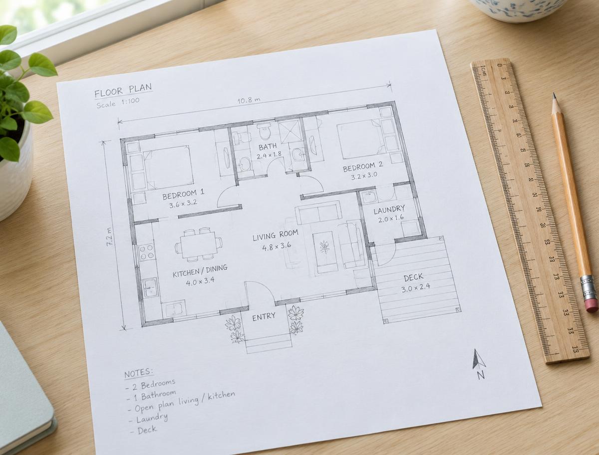
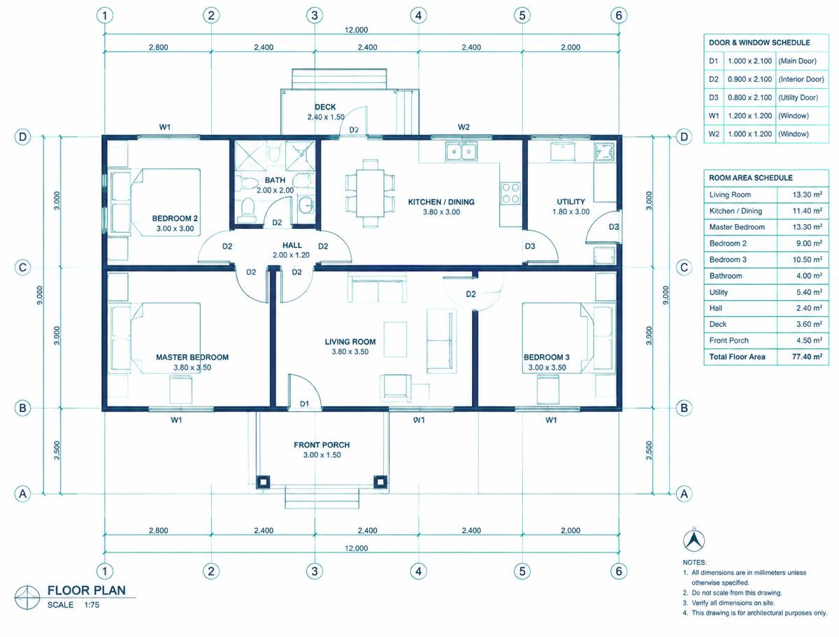
Illustrative example — actual results depend on input quality and drawing clarity.
- 01
Capture
Capture site information using a mobile phone, camera, survey equipment, scanner or existing documents.
- 02
Upload
Upload JPG, PNG and PDF files in their own separate panels — scans, blueprints, survey drawings and site photographs.
- 03
AI Processing
JPG and PNG files go through image processing; PDFs go through document processing. SurveyBot identifies drawing elements, geometry, text and available dimensions.
- 04
Download & Continue Working
Download the file and continue in your preferred Format, measurement or design software. Review, edit and verify before delivery.
SurveyBot accelerates the drafting process. Professional review and verification should always be performed before using drawings for construction, legal, engineering or other critical decisions.
Services
Conversion services
Photo to Geometry
Convert site photographs and photos of drawings into editable, CAD-ready DXF files with SurveyBot.
PDF to Geometry
Convert PDF drawings and scanned documents into editable CAD workflows with DXF output from SurveyBot.
Blueprint to Geometry
Digitize architectural and engineering blueprints into editable DXF drawings with SurveyBot.
Image to DXF
Convert JPG and PNG images of drawings into DXF files ready for CAD editing with SurveyBot.
Survey to Geometry
Convert survey drawings, field references and documentation into CAD-ready DXF files with SurveyBot.
Drawing to DXF
Convert existing drawings and hand-drawn sketches into editable DXF geometry with SurveyBot.